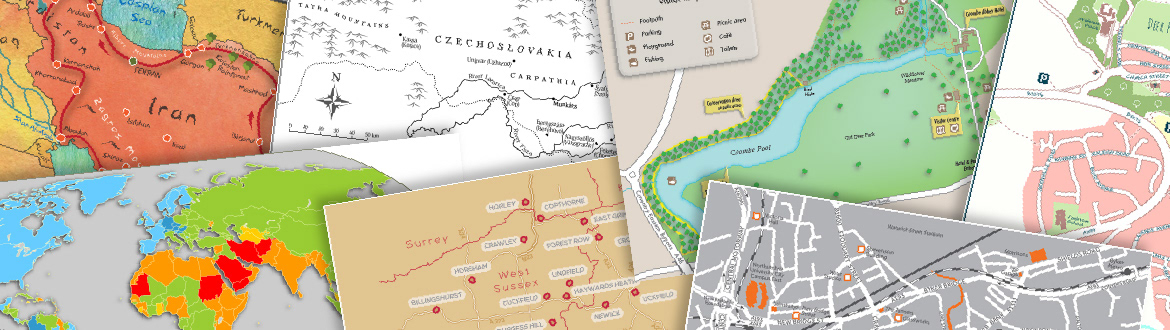
My aim is to make eye-catching maps that stand out from the crowd.
With a background in Geography and Cartography, I have extensive experience in drawing maps and diagrams for teaching in higher education and for academic publications. However, my projects are quite diverse. Recent work for publication in print has included: large format mapping of WW1war graves on the Gallipoli peninsula, historical maps of the Middle East for academic book publication & tiny world maps for insertion in diaries. I can also produce interactive mapping.
My main tools are an Apple Mac computer with Adobe Illustrator, Avenza MaPublisher & QGIS. I also use other Adobe Creative Suite Software, especially Acrobat & Photoshop plus Microsoft Excel.
Where possible, I use open source map data from reliable sources in order to provide maps that are both accurate and royalty free. The finished work is usually supplied in digital form.
My qualifications include a postgraduate diploma in Cartography (Glasgow University) and a Geography degree (Manchester University). I have been freelancing full time since January 2015. Previously I worked for 14 years as a university cartographer.
I am based in Warwickshire, United Kingdom.